
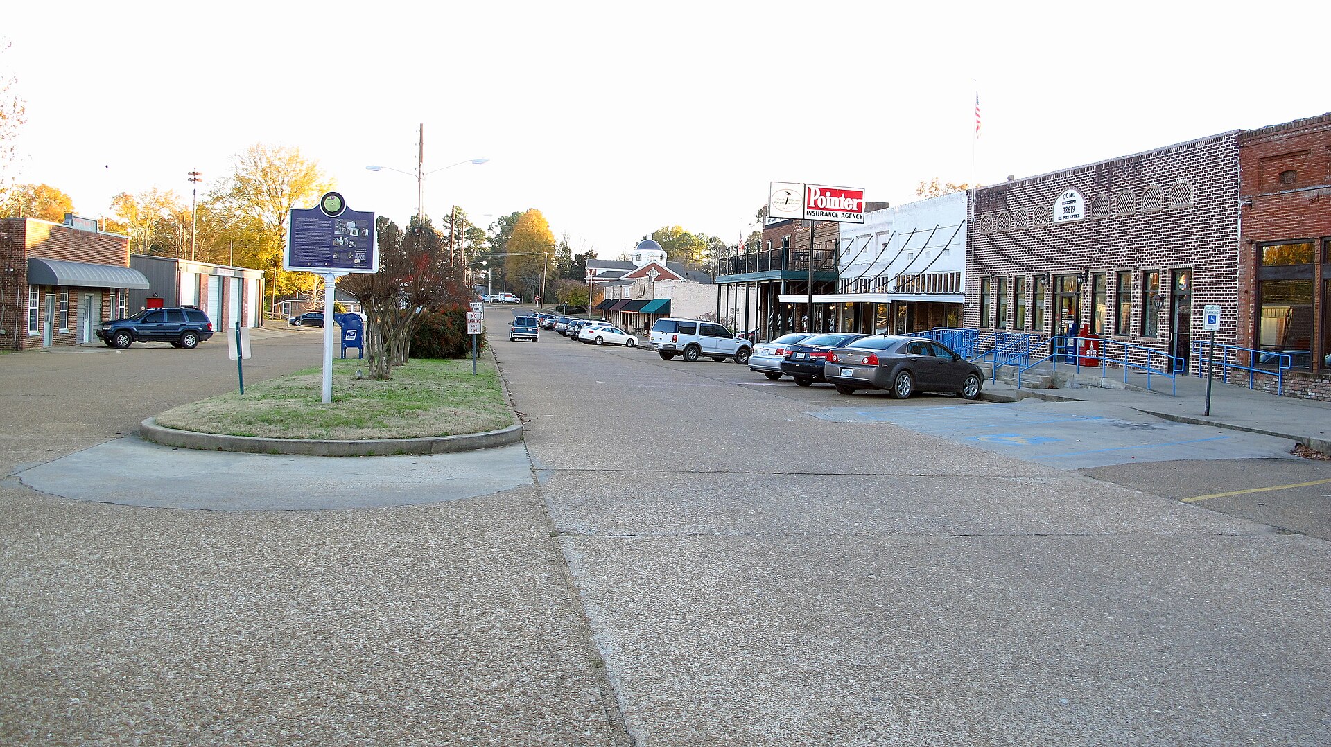
THE COMO LAND BRIEF
Land in the
Loess Plains setting.
Como town has 1.89 square miles of land in Panola County. Its Census reference point is in Loess Plains, within Mississippi Valley Loess Plains.
Windblown loess blankets irregular plains and rolling hills, with steeper bluffs near the Mississippi River. Flatter eastern areas contrast with the more deeply cut bluff country.
Regional context: Mississippi Valley Loess Plains ↗ · Classification at the Census reference point
Como and Panola County
Como is associated with Panola County in the Census boundary data. Start with the parcel’s tax bill to match the property to that jurisdiction, then confirm which government handles its land use.
Como by land and water
The Census records <0.01 square miles of water within Como, or 0.5% of its total area. It is 2.4 percentage points lower than the 2.8% recorded for Panola County. This is geographic context; waterfront status and usable land must be checked at the parcel.
For scale, Como town has 94.5% of the land area of nearby Sardis town (2 square miles). These areas describe boundaries, not comparable property prices.