
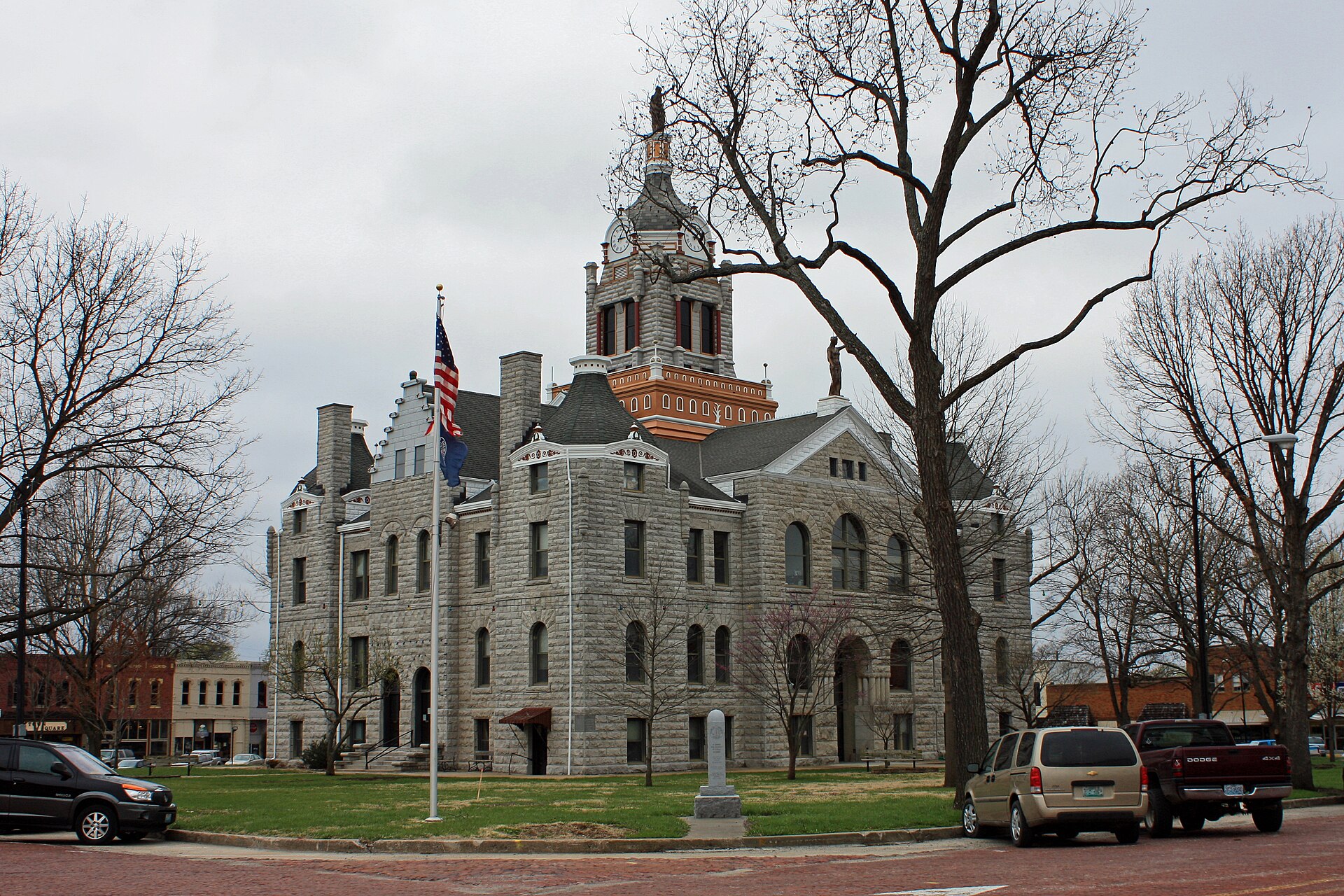
THE BATES COUNTY LAND BRIEF
Land in the
Wooded Osage Plains setting.
Bates County has 836.7 square miles of land in Missouri. 2 mapped landscape regions meet across Bates County: Wooded Osage Plains, Cherokee Plains.
Irregular plains form a transition between northern agricultural country and more wooded uplands to the south and east. Grassland and forest historically mixed, with wider woodland belts beside streams.
Regional context: Central Irregular Plains ↗ · Regional mapping across the county footprint
Where the landscape changes
Bates County intersects 2 mapped regional units. The largest mapped shares are:
- Wooded Osage Plains86.9%
- Cherokee Plains13.1%
Finding your parcel within Bates County
The atlas lists 35 cities, towns, townships, and Census communities associated with Bates County, including Pleasant Gap, Hudson, Walnut. The list includes overlapping geography types and does not divide the county into exclusive service areas.
Bates County by land and water
The Census records 14.7 square miles of water within Bates County, or 1.7% of its total area. That share is close to Bates County’s 1.7%. This is geographic context; waterfront status and usable land must be checked at the parcel.
For scale, Bates County has 205.7 times the land area of nearby Butler city (4.07 square miles). These areas describe boundaries, not comparable property prices.
The Census boundary meets Cass County, Henry County, St. Clair County, Vernon County within Missouri. A tract near one of these lines should be matched to the county identifier on its own records.