
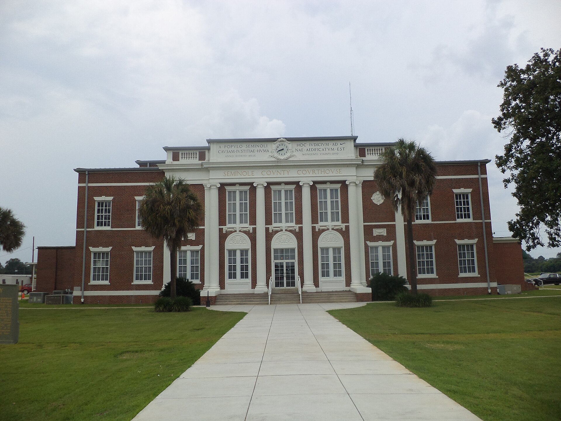
THE SEMINOLE COUNTY LAND BRIEF
Land in the
Dougherty Plain setting.
Seminole County has 237.6 square miles of land in Georgia. 2 mapped landscape regions meet across Seminole County: Dougherty Plain, Southeastern Floodplains and Low Terraces.
Irregular plains of sand, silt and clay support a mix of pine and hardwood landscapes. The region has more relief than the lower coastal plain, with generally gentle stream gradients.
Regional context: Southeastern Plains ↗ · Regional mapping across the county footprint
Where the landscape changes
Seminole County intersects 2 mapped regional units. The largest mapped shares are:
- Dougherty Plain84.5%
- Southeastern Floodplains and Low Terraces15.5%
Finding your parcel within Seminole County
The atlas lists 2 cities, towns, townships, and Census communities associated with Seminole County, including Donalsonville, Iron City. The list includes overlapping geography types and does not divide the county into exclusive service areas.
Seminole County by land and water
The Census records 19 square miles of water within Seminole County, or 7.4% of its total area. That share is close to Seminole County’s 7.4%. This is geographic context; waterfront status and usable land must be checked at the parcel.
For scale, Seminole County has 297.3 times the land area of nearby Iron City town (0.8 square miles). These areas describe boundaries, not comparable property prices.
The Census boundary meets Decatur County, Early County, Miller County within Georgia. A tract near one of these lines should be matched to the county identifier on its own records.